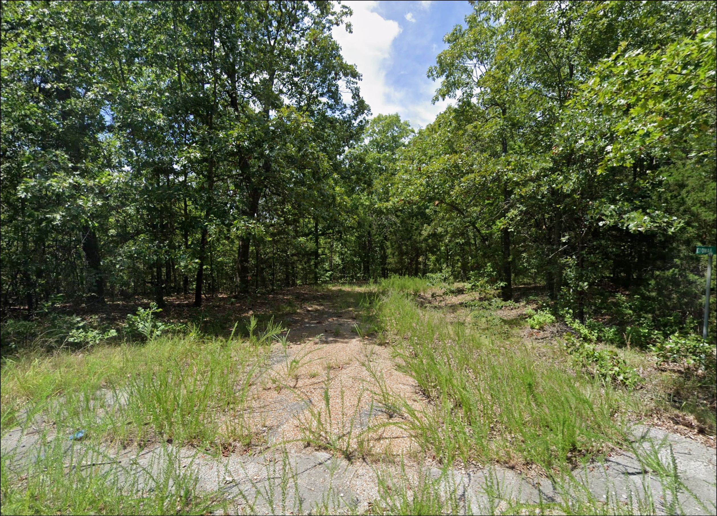
{“ops”:[{“insert”:”Future Homesite Between Lake Omaha and Route 289 with Spring River Close By For Fishing and Floating”},{“attributes”:{“table”:”1″},”insert”:”n”},{“insert”:”n”}]}
![{"ops":[{"insert":"Future Homesite Between Lake Omaha and Route 289 with Spring River Close By For Fishing and Floating"},{"attributes":{"table":"1"},"insert":"n"},{"insert":"n"}]}](https://storage.googleapis.com/gaclandimages/L-30432_1.jpg)
![{"ops":[{"insert":"Future Homesite Between Lake Omaha and Route 289 with Spring River Close By For Fishing and Floating"},{"attributes":{"table":"1"},"insert":"n"},{"insert":"n"}]}](https://storage.googleapis.com/gaclandimages/L-30432_2.jpg)
![{"ops":[{"insert":"Future Homesite Between Lake Omaha and Route 289 with Spring River Close By For Fishing and Floating"},{"attributes":{"table":"1"},"insert":"n"},{"insert":"n"}]}](https://storage.googleapis.com/gaclandimages/L-30432_3.jpg)
![{"ops":[{"insert":"Future Homesite Between Lake Omaha and Route 289 with Spring River Close By For Fishing and Floating"},{"attributes":{"table":"1"},"insert":"n"},{"insert":"n"}]}](https://storage.googleapis.com/gaclandimages/L-30432_4.jpg)
![{"ops":[{"insert":"Future Homesite Between Lake Omaha and Route 289 with Spring River Close By For Fishing and Floating"},{"attributes":{"table":"1"},"insert":"n"},{"insert":"n"}]}](https://storage.googleapis.com/gaclandimages/L-30432_5.jpg)
![{"ops":[{"insert":"Future Homesite Between Lake Omaha and Route 289 with Spring River Close By For Fishing and Floating"},{"attributes":{"table":"1"},"insert":"n"},{"insert":"n"}]}](https://storage.googleapis.com/gaclandimages/L-30432_6.jpg)
![{"ops":[{"insert":"Future Homesite Between Lake Omaha and Route 289 with Spring River Close By For Fishing and Floating"},{"attributes":{"table":"1"},"insert":"n"},{"insert":"n"}]}](https://storage.googleapis.com/gaclandimages/L-30432_7.jpg)
![{"ops":[{"insert":"Future Homesite Between Lake Omaha and Route 289 with Spring River Close By For Fishing and Floating"},{"attributes":{"table":"1"},"insert":"n"},{"insert":"n"}]}](https://storage.googleapis.com/gaclandimages/L-30432_8.jpg)
![{"ops":[{"insert":"Future Homesite Between Lake Omaha and Route 289 with Spring River Close By For Fishing and Floating"},{"attributes":{"table":"1"},"insert":"n"},{"insert":"n"}]}](https://storage.googleapis.com/gaclandimages/L-30432_9.jpg)
Available
$49.00 / month
Full Price: $3,768.00
Description:
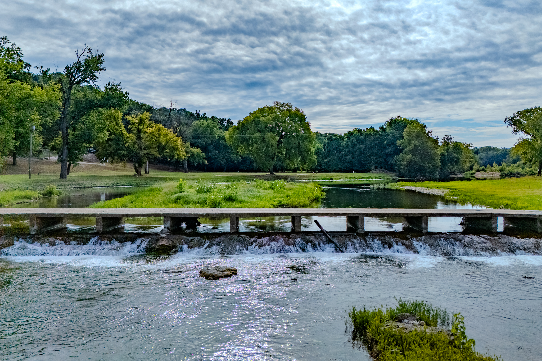
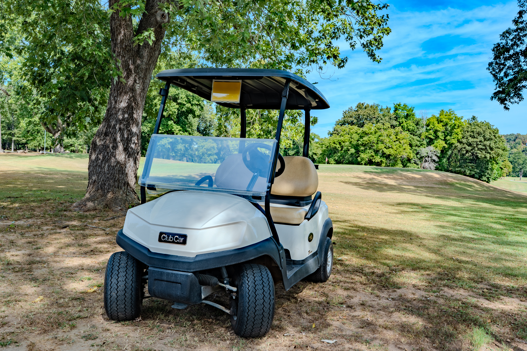
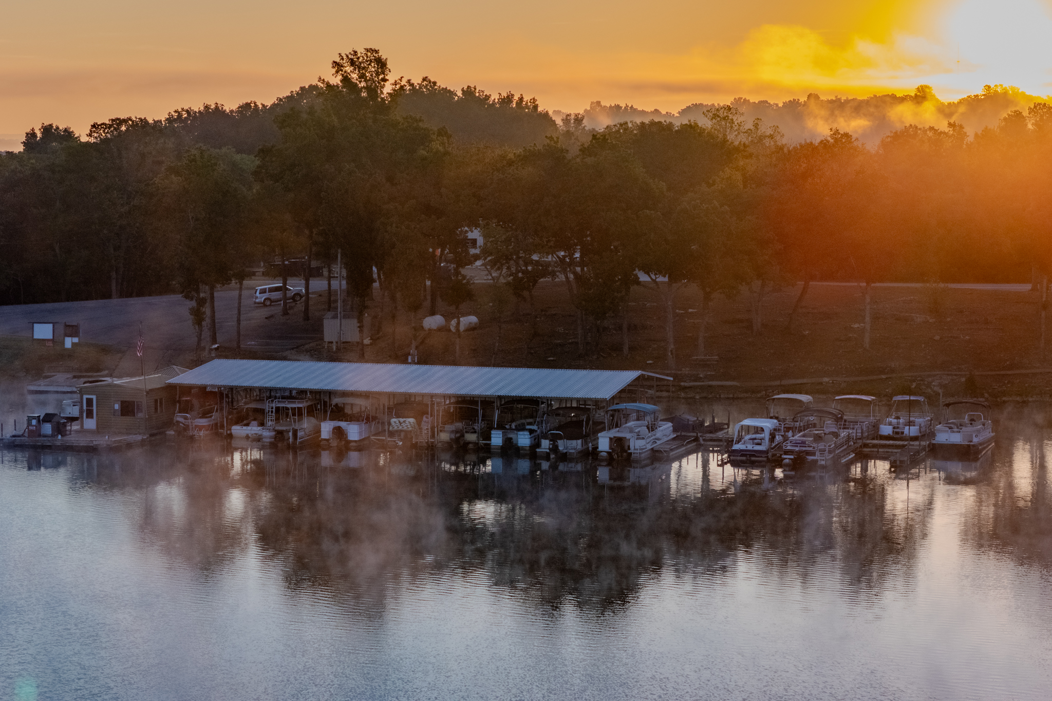
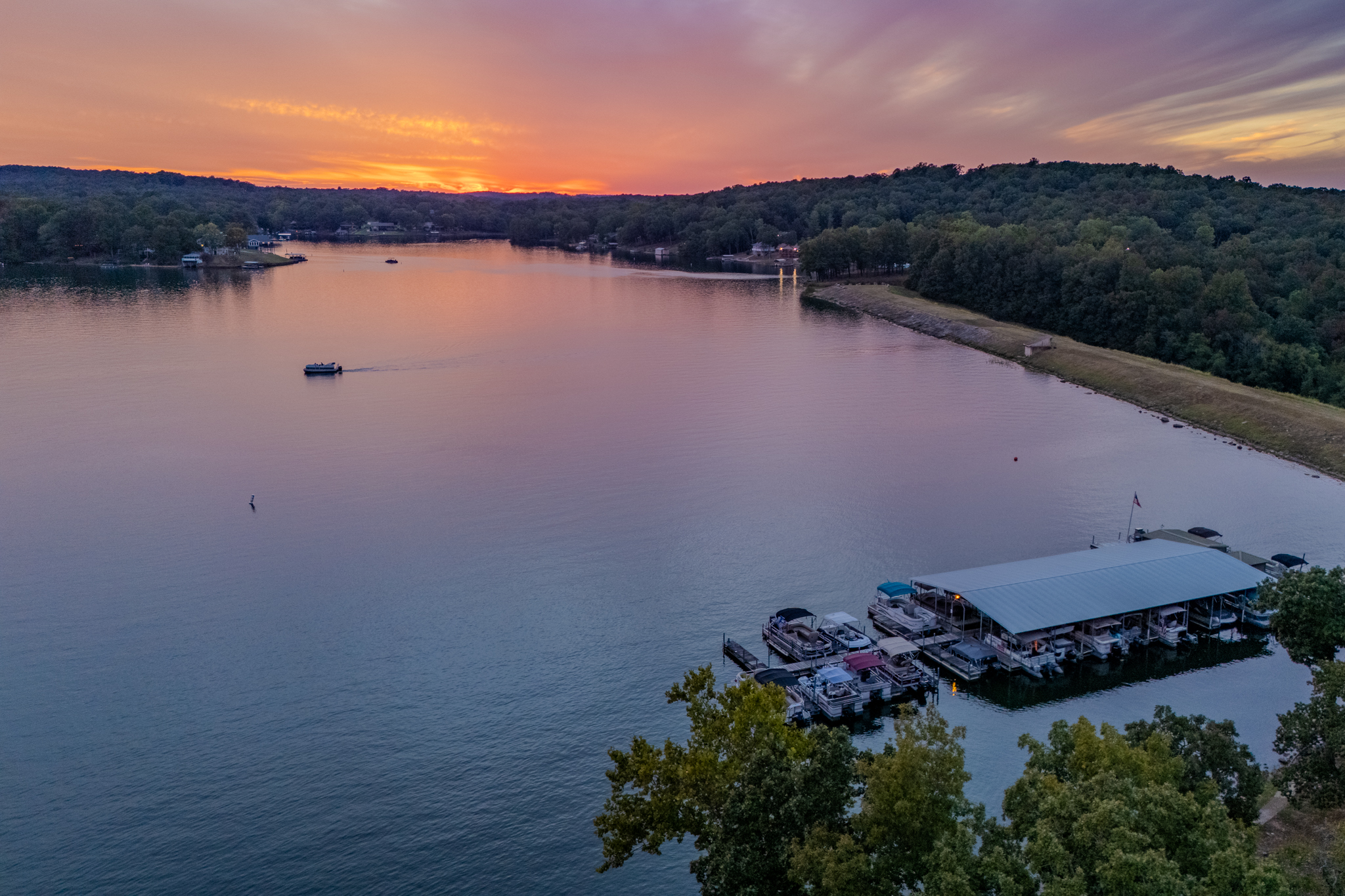
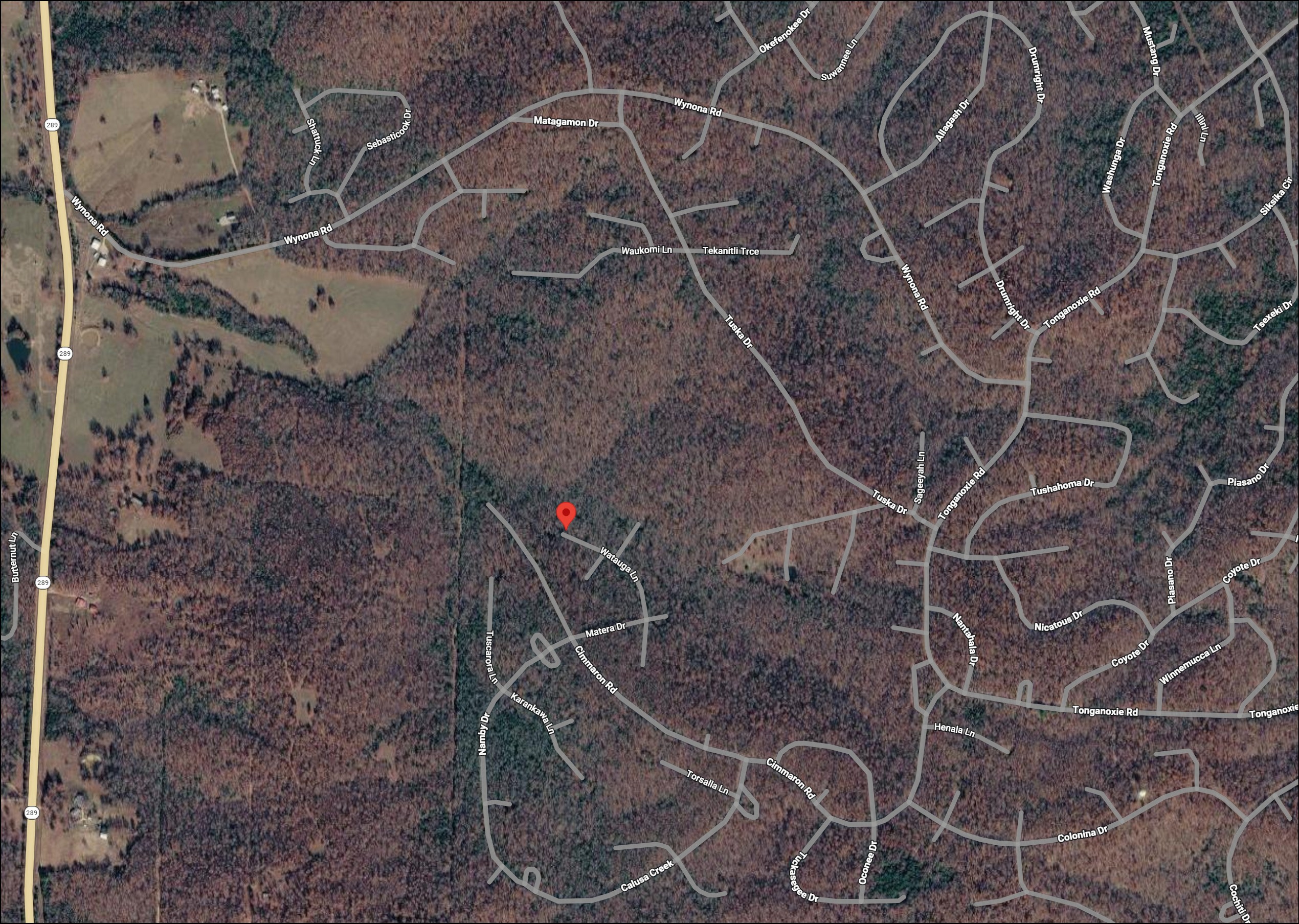
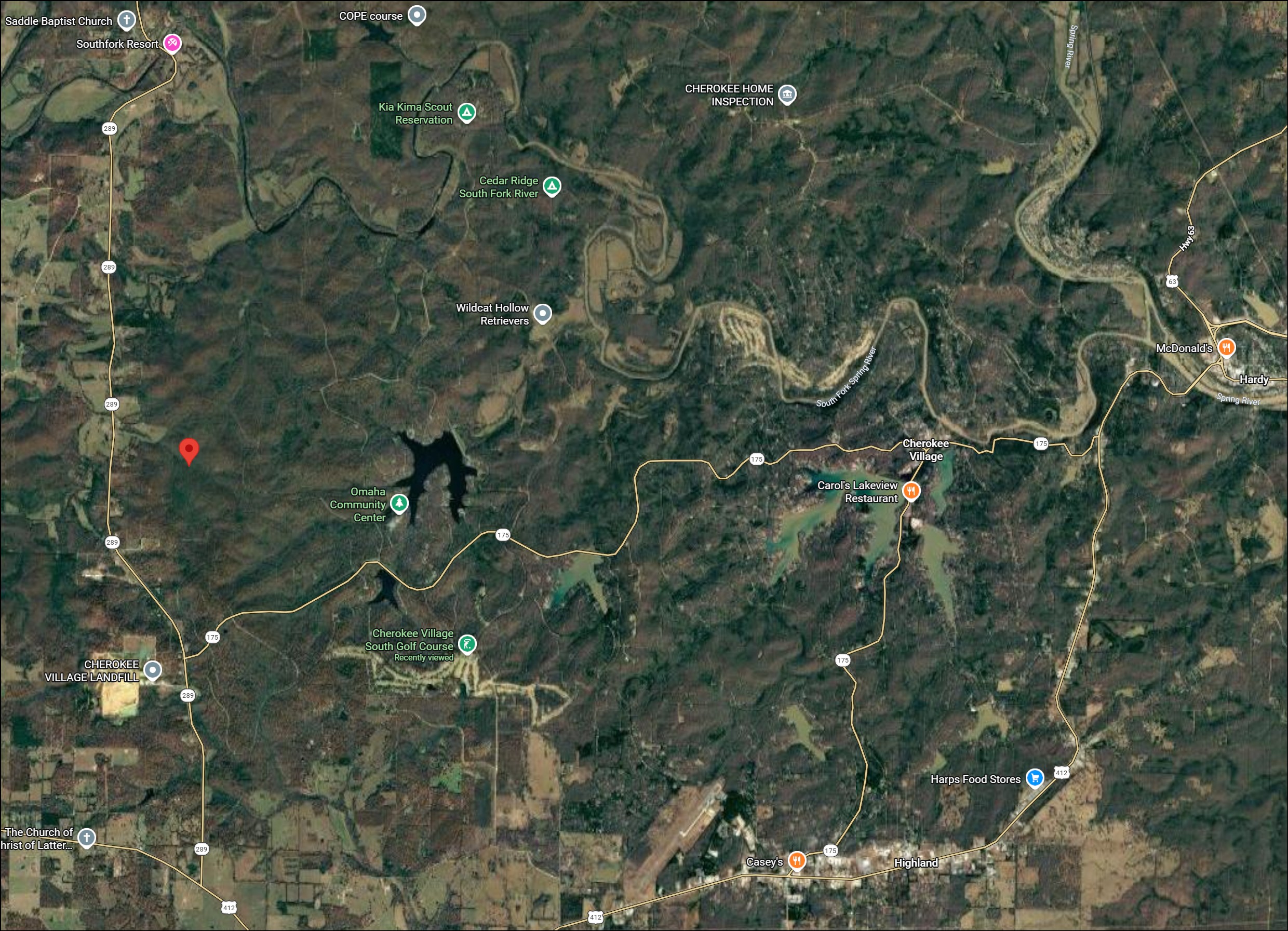
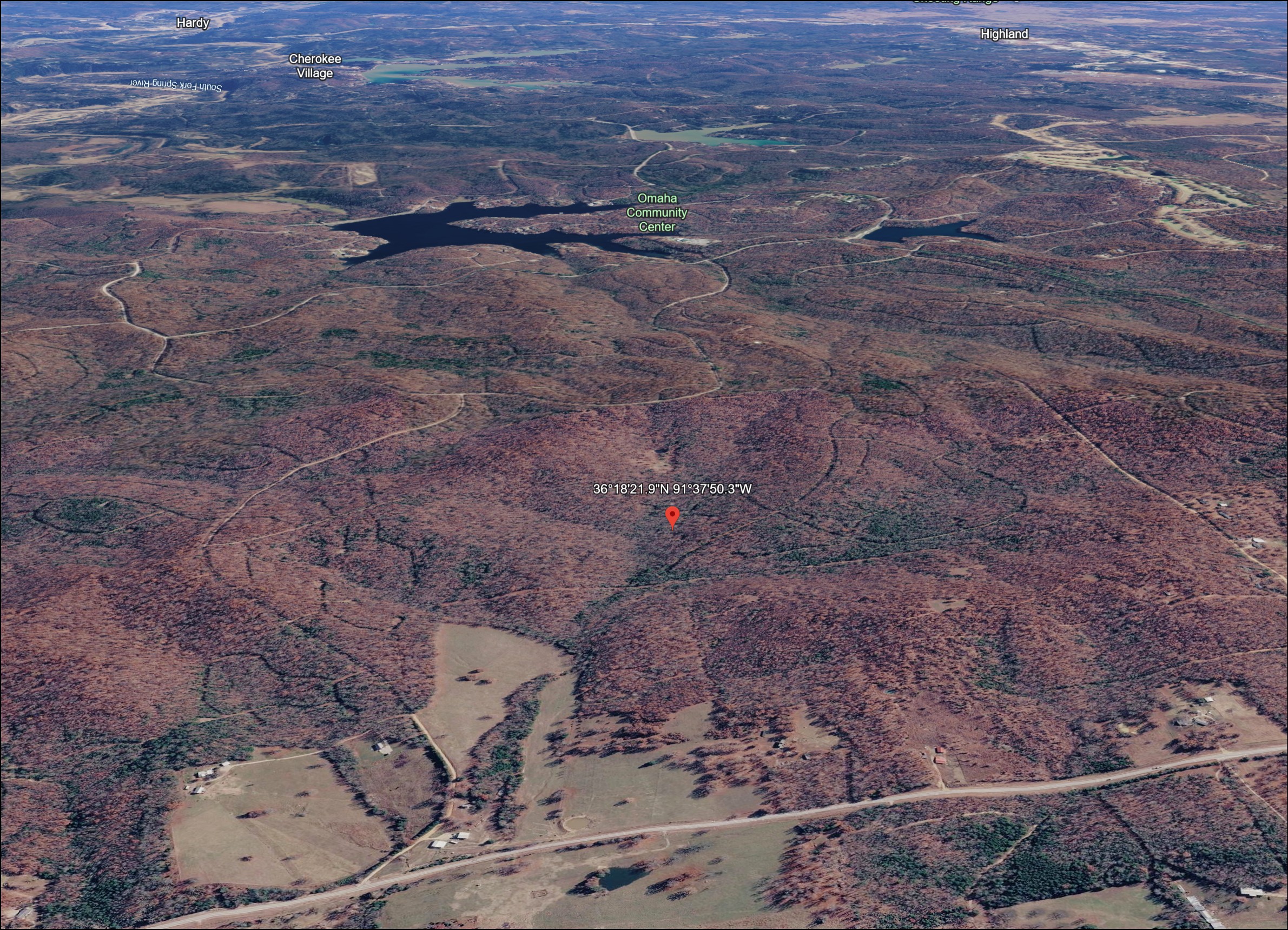
Arkansas land property located right on Watauga Lane and situated between Lake Omaha and State Route 289! Cherokee Village features amazing amenities like golf courses, swimming pools, lakes, trails, pickleball, tennis courts, beaches and fun for all ages! This lot is located in the beautiful foothills of Northern Arkansas Ozarks region featuring seven spectacular lakes developed for vacation and recreational enjoyment! The area also includes the bountiful Spring River popular for floating, boating, and abundant fishing. This property is close to the town of Hardy, Arkansas and the Sharp County Regional Airport making Cherokee Village easily accessible with each lot having road frontage. This is one of the most affordable areas with HOA fees less than $99/year and low property taxes around only $25/year.