
Fulton County, Arkansas Woodland Near Lake Omaha on 0.29 Acres


Available
Original price was: $3,768.00.$1,595.00Current price is: $1,595.00.
Description:
Property Overview
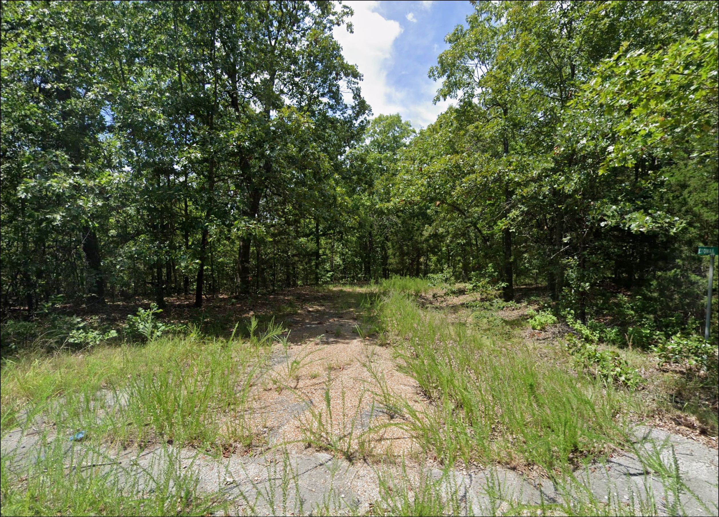
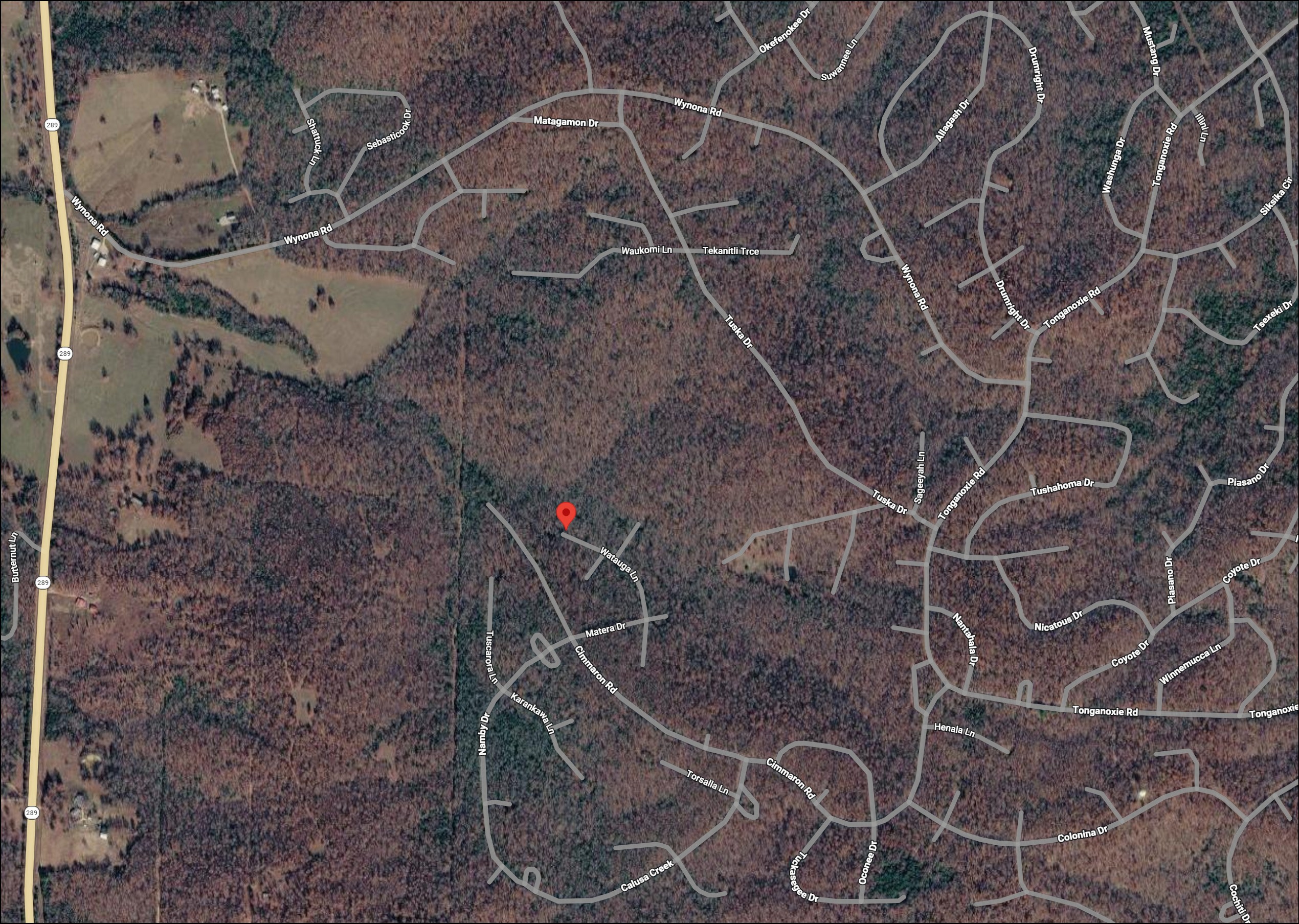
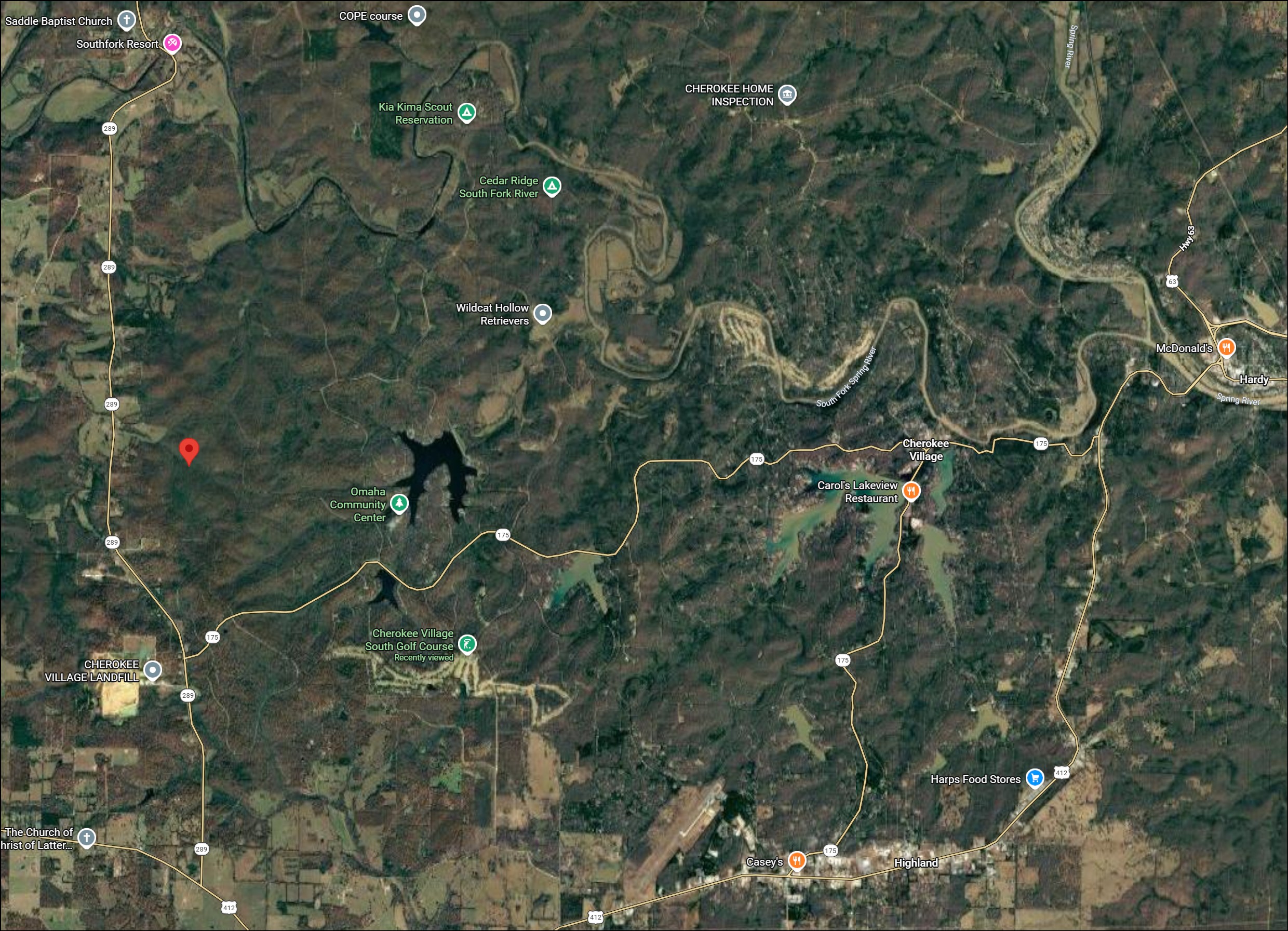
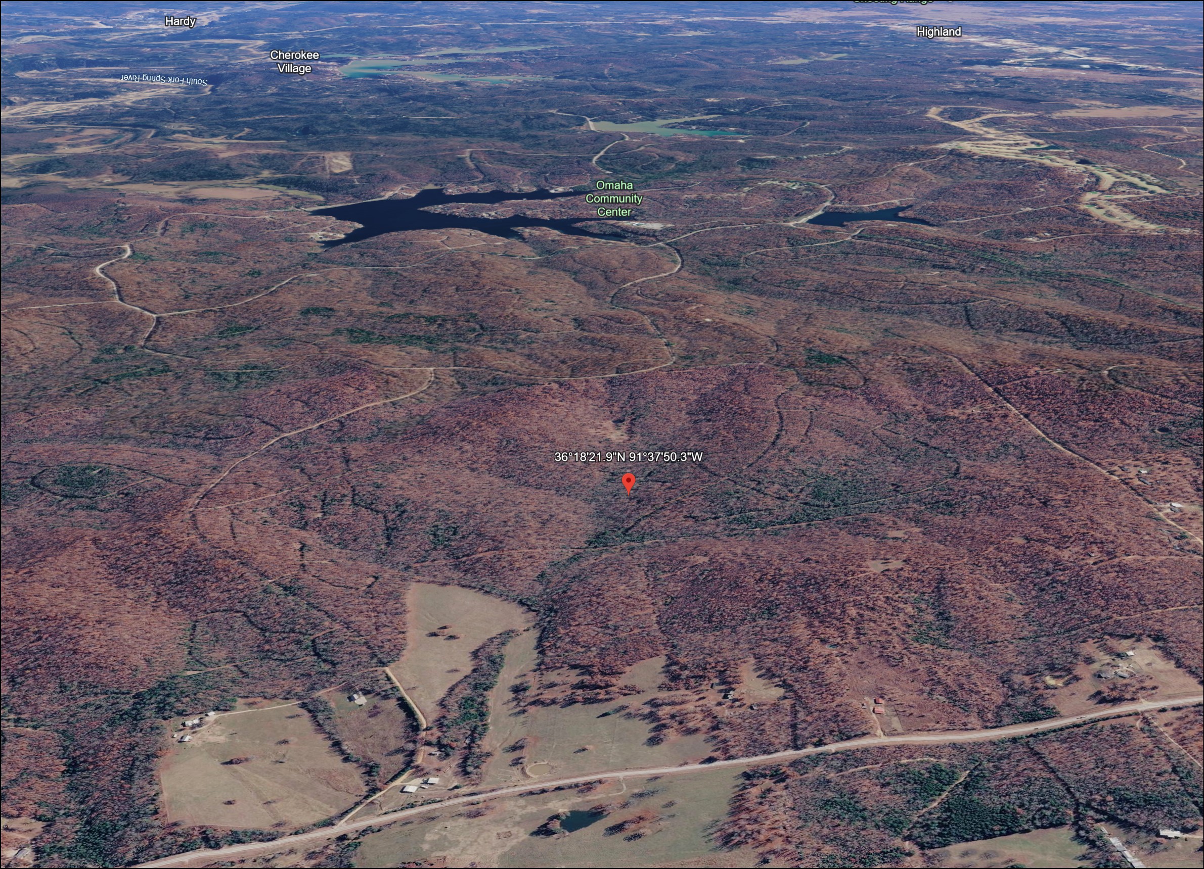
West of Lake Omaha, this property offers 0.29 acres in the Watauga Lane neighborhood. The immediate surroundings are largely wooded, with Highway 289 beyond the western side of the area. The Village’s lakes, golf and Omaha Center provide recreation choices. A future house would need a confirmed approach and an approved site plan.
Property Information
- Acreage
- 0.29 acres
- County and State
- Fulton County, Arkansas
- Parcel ID or APN
- 245-15545-000
- Property Reference
- L-30432
- GPS Coordinates
- 36.3060886, -91.6306396View on Google Maps
- Zoning
- Single Family Residential (confirm district with city)
- Legal Description
- Cherokee Village Subdivision Nambe Addition Block 9: Lot 16
Price and Payment Options
Zoning and Potential Land Uses
- Zoning: Single Family Residential (confirm district with city)
- Zoning Code: R-1
- Zoning Description: The city R-1 district permits detached single family houses and excludes manufactured homes. Ask city planning to confirm the current classification and the requirements for this parcel.
- Property Access: Buyer to verify legal and physical access.
- Buildability: Likely buildable for residential use, subject to city and county verification.
A detached single family home is the use to investigate first. Confirm the exact city district, applicable Nambe restrictions and wastewater suitability before selecting a design or treating the property as ready for construction.
Road Access and Utilities
- Road access: Buyer to verify legal and physical access.
- Water: Ask Cherokee Village Waterworks whether its supply can be extended to the proposed home site. A connection is not confirmed at the lot. Click Here to review service options with the provider.
- Electricity: For this Fulton County location, North Arkansas Electric Cooperative is the city listed electric utility. Request an assessment of the nearest service point and extension work. Click Here to review service options with the provider.
- Internet: NEXT fiber service can be checked for Cherokee area locations through its address qualification system. Click Here to review service options with the provider.
- Wastewater: An approved individual septic system may be needed. Confirm the soil evaluation and design requirements with the county health unit.
- Gas: AmeriGas offers propane in the nearby Hardy area. The supplier must assess delivery access and a suitable tank location for this lot. Click Here to review service options with the provider.
Buyers should verify all utility availability and related information.
Nearby Areas and Recreation
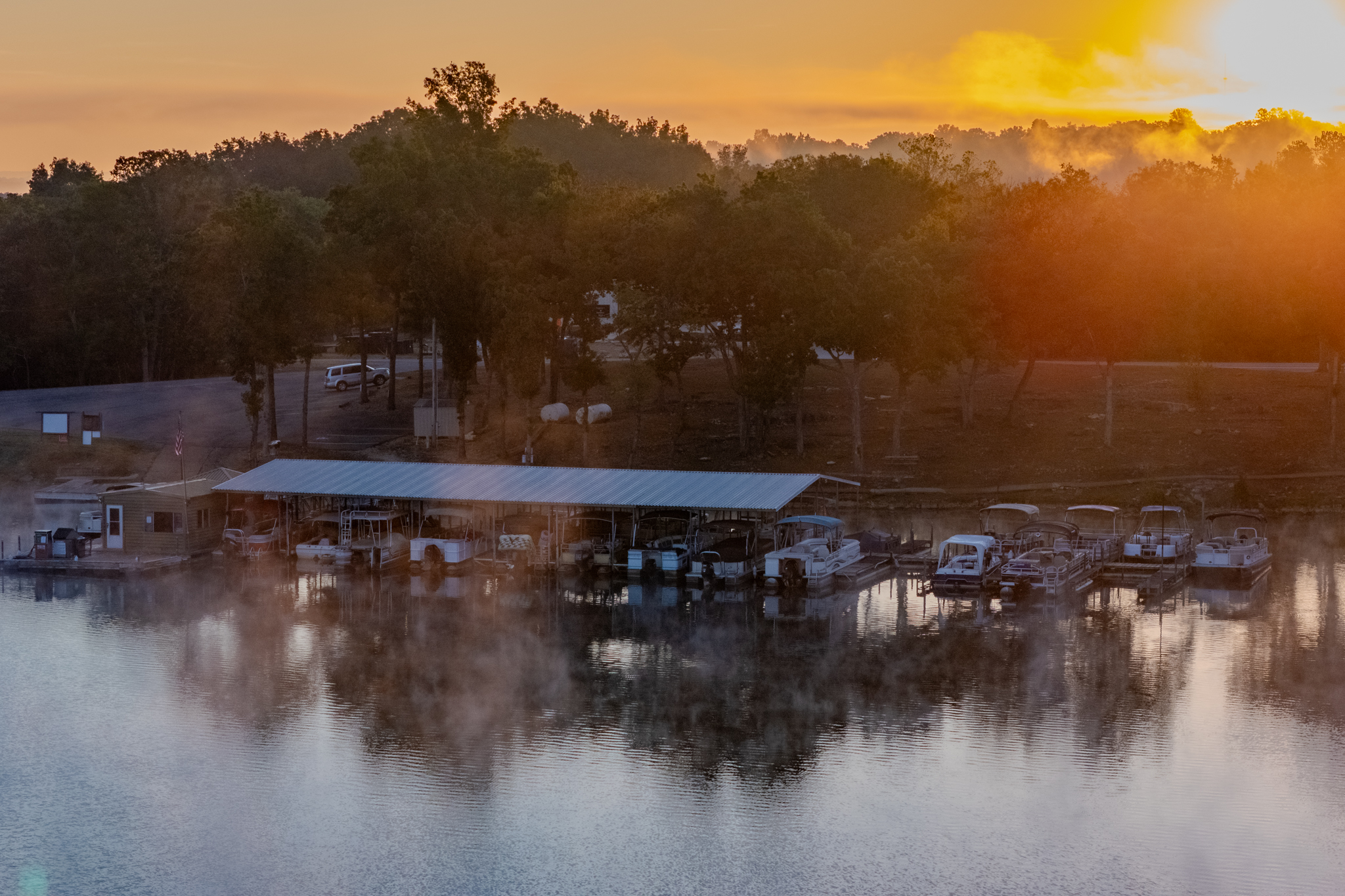
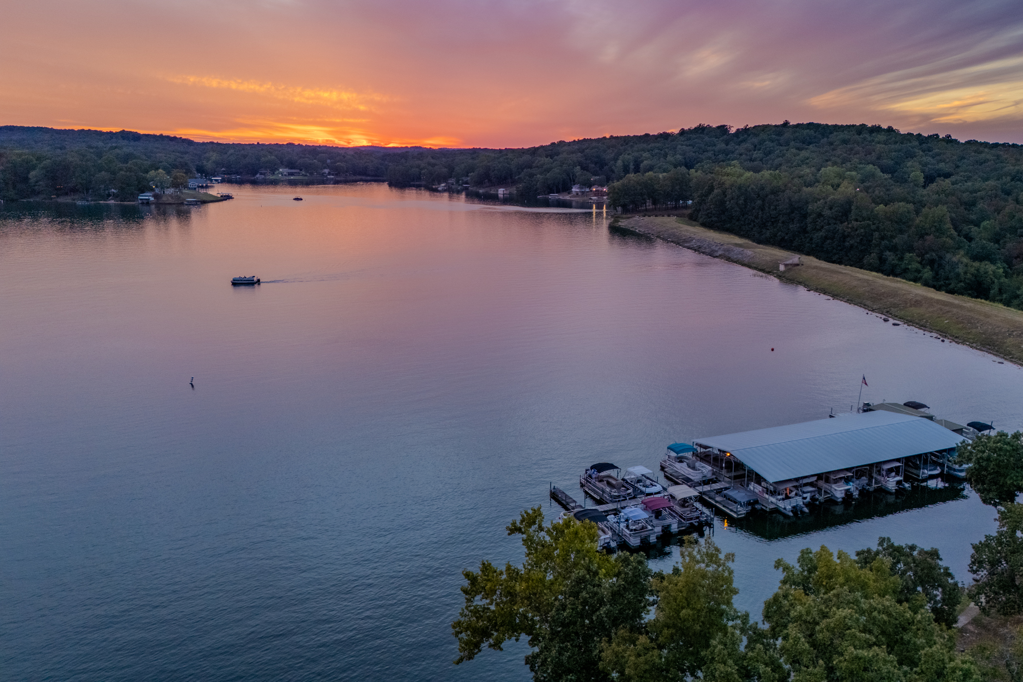
Western Village destinations include Lake Omaha and the Omaha Center, with golf courses and other lakes farther across the community.
- Lake Omaha: A private community lake offering boating and fishing under SID owner and guest rules.
- Omaha Recreation Center: Fitness, indoor pickleball and other community activities at the western recreation hub.
- Cherokee Village South Golf Course: An 18 hole course southeast of the neighborhood, with rounds booked under current policies.
- Lake Aztec: A smaller community lake for quiet boating and fishing by eligible users.
- Cherokee Village North Golf Course: A wooded 18 hole layout providing another golf destination within the Village.